Makens said La Nina conditions will persist through the spring, but that there is a possibility of change during the summer months. “Two straight years, we have been in La Nina. Not every year is identical, but the drought growth has been tremendous across the West.” Makens said that closer to fall, La Nina or El Nino conditions begin to ramp up, and the first few months of the year are a difficult time to predict what will happen.

“Very rarely has La Nina shown up for three seasons … I’m not saying that La Nina may not be with us next year, but I am saying that historically, it is rare for a three-peat of La Nina.” Sea surface temperatures are a big part of the transition to El Nino. The Pacific Ocean from north of Hawaii to Southeast Asia is warmer than usual. That warm water will eventually be pushed back east to North America and replace La Nina with El Nino. The only question is when.
As conditions stand, there is a favorable storm track across the U.S., except for the Southwest, which looks to remain dry. Makens shared a tip for determining El Nino versus La Nina: Keep an eye on the state of Bahia in northeastern Brazil. When Bahia gets wet weather in March, that indicates an El Nino the following year. If it stays dry, we're more likely to have another La Nina.
Australia is finally getting some much-needed moisture. Eastern Australia has received 200% of its normal rainfall in the last three months and 50%-75% of normal in the north. Compared to last year, Australia should perform well vegetation-wise through this growing season. A La Nina favors Australia’s north and east coasts, which will continue to stay wet through the next season.
This year in the U.S.
The Pacific is in control of our weather pattern across the U.S. right now. Areas east of the Rockies are much more likely to have colder-than-average conditions, especially the Northern Plains. The snowpack will linger for the next several months.
The Southwest usually takes a hit in a La Nina pattern and will continue to hurt for water for now, but there may be a few moments of precipitation this spring, along with some improving conditions in the summer.
The Flint Hills and Ozarks and the region to the east will be a favorite area for precipitation this spring, while the high plains of Montana, Wyoming and Colorado will see spikes of warmer conditions, and Florida will see a warmer spring than usual.
This year, as in most dry years, the timing of precipitation will be critical, especially in the Corn Belt. The forecast predicts a monsoon season for northern Mexico and into the Southwest, which has bad implications for the Corn Belt. “In May, we'll have a very strong indication of how strong the monsoon will be. The stronger the monsoon, the drier the Corn Belt; the weaker the monsoon, the better off for the Corn Belt.”
Most forecast are currently indicating a neutral year following the finish of the current La Nina weather pattern, but what happens around the world in the next few months is a more accurate indication of whether or not La Nina comes back. “We have to get through March. We have to see what is going to happen in eastern Brazil. We have to see what's going to happen over the Easter islands. We have to see what's going to happen in New Zealand. Those things over the next seven weeks are indicators for what's going to happen next year.” ![]()
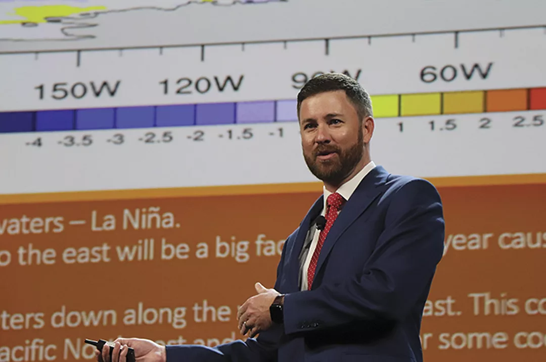
PHOTO: Meteorologist Matt Makens presented the weather outlook for the CattleFax outlook seminar at the 2022 NCBA Cattle Industry Convention in Houston, Texas. Photo by Carrie Veselka.
-
Carrie Veselka
- Editor
- Progressive Cattle
- Email Carrie Veselka